Log in
All resources
Create a design
485 Free Artworks of Charts And Maps
nationaal archief
bibliothèque nationale de france
watercolour on paper
johannes vingboons
1665
atlas vingboons
koninklijke bibliotheek
lawrence h. slaughter collection of english maps, charts, globes, books and atlases
maps of north america
maps from university of amsterdam special collections
18th-century maps of the british isles
armada tapestries
18th-century maps of the british isles
armada tapestries
maps by edward wright
molyneux globes
18th-century maps of borneo
1780s maps of indonesia
maps of the dutch east india company - india
old maps of the dutch east india company
old maps of the dutch east india company
1665
eran laor cartographic collection
isaak tirion
maps by claude joseph sauthier
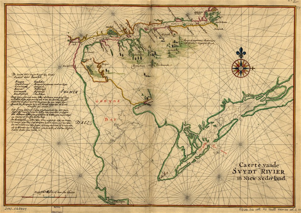
old maps of new york (state)
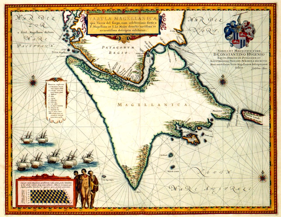
17th-century maps of the strait of magellan
maps by willem and johannes blaeu
18th-century maps of the malay archipelago
1790s maps of china
nuevo atlas o teatro mundo
old maps of the arctic
maps in the topographia austriacarum (merian)
baroque
old maps of the dutch east india company - africa
maps of the dutch east india company - mozambique
maps by claude joseph sauthier
old maps of new york (state)
atlas vingboons
1665
old maps of the western hemisphere
jacob van meurs
watercolor drawings by johannes vingboons
1665
eran laor cartographic collection
willem albert bachiene
eran laor cartographic collection
willem albert bachiene
media from atlas of mutual heritage on dutch east india company
17th-century maps of mozambique
le neptune francois
charles pène 8th
lawrence h. slaughter collection of english maps, charts, globes, books and atlases
novi belgii, atlas maior
augustus kollner
pictorial maps
juan de la cruz cano y olmedilla
maps by tomas lopez
juan de la cruz cano y olmedilla
maps by tomas lopez
english-language maps
maps by john cary
west-indische compagnie
1671
maps from university of amsterdam special collections
atlas der neederlanden
old maps of the viceroyalty of new spain
maps by emanuel bowen
atlas vingboons
1665
old maps of spitsbergen
1642
maps by pieter mortier
le neptune francois
portolan charts by willem and johannes blaeu
latin-language maps
eran laor cartographic collection
willem albert bachiene
17th-century maps of the mediterranean sea
portolan charts made in the 17th century
maps of the dutch east india company - south africa
1682
maps of the dutch east india company - indonesia
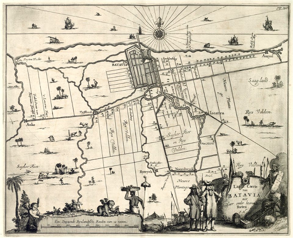
17th-century maps of batavia
a map of the provinces of new york and new jersey, with a part of pennsylvania and the province of quebec
lawrence h. slaughter collection of english maps, charts, globes, books and atlases
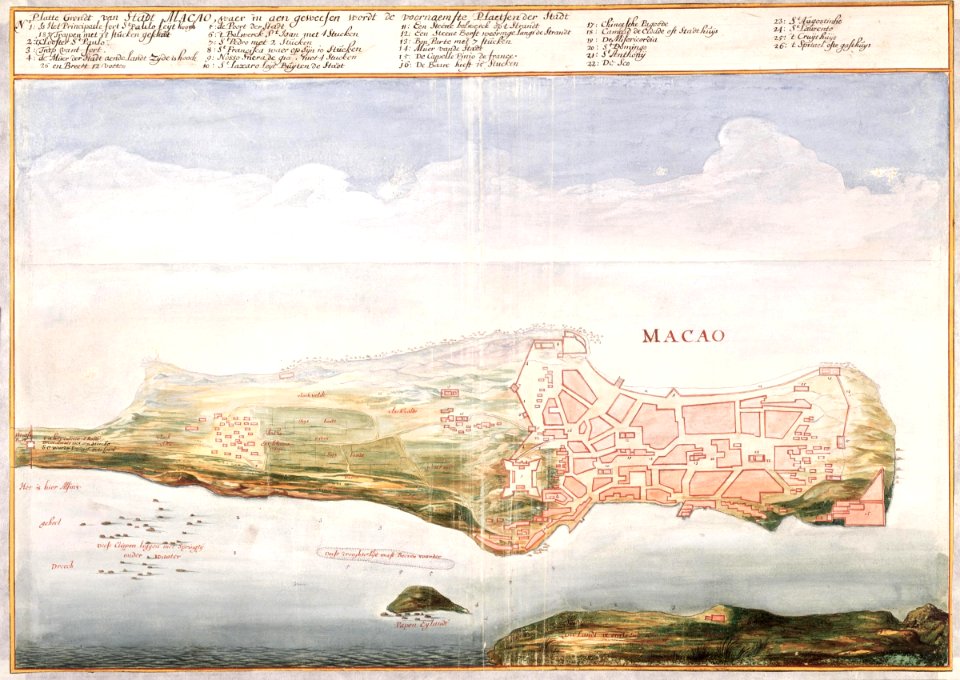
portuguese macau
1665
lawrence h. slaughter collection of english maps, charts, globes, books and atlases
nypl lionel pincus and princess firyal map division
island of california on world maps
1700s maps of the world
lawrence h. slaughter collection of english maps, charts, globes, books and atlases
covens en mortier
maps from university of amsterdam special collections
atlas der neederlanden
maps from university of amsterdam special collections
atlas der neederlanden
maps from university of amsterdam special collections
atlas der neederlanden
maps from university of amsterdam special collections
atlas der neederlanden
maps from university of amsterdam special collections
atlas der neederlanden
maps from university of amsterdam special collections
atlas der neederlanden
1730s maps of the philippines
baroque painting
1740s maps of the world
maps by emanuel bowen
maps of the west-indische compagnie
1665
maps of the west-indische compagnie
1665
maps from the earth and its inhabitants, vol. iv
charts of plymouth sound
holy roman empire
pierre mortier
maps of the dutch east india company - south africa
old maps of the dutch east india company
portolan charts by willem and johannes blaeu
1620s maps of the atlantic ocean
18th-century maps of korea
nouvel atlas de la chine
old maps of scotland from the norman b. leventhal map center
old maps of ireland from the norman b. leventhal map center
carta hydrographica y chorographica de las yslas filipinas... - por... el pe pedro murillo velarde - btv1b53066953z
baroque painting
old maps of the strait of gibraltar
hendrik de leth
1770s maps of alaska
robert de vaugondy
18th-century maps of greenland
old maps of the arctic
cornell: persuasive cartography: the pj mode collection
cartographers
atlas vingboons
1665
old maps of havana
1665 maps
maps of the west-indische compagnie
1665
maps of the dutch east india company - bengal
maps of the dutch east india company - india
carte du mexique et de la floride by guillaume delisle (1703)
french-language maps of mexico
daniel de la feuille
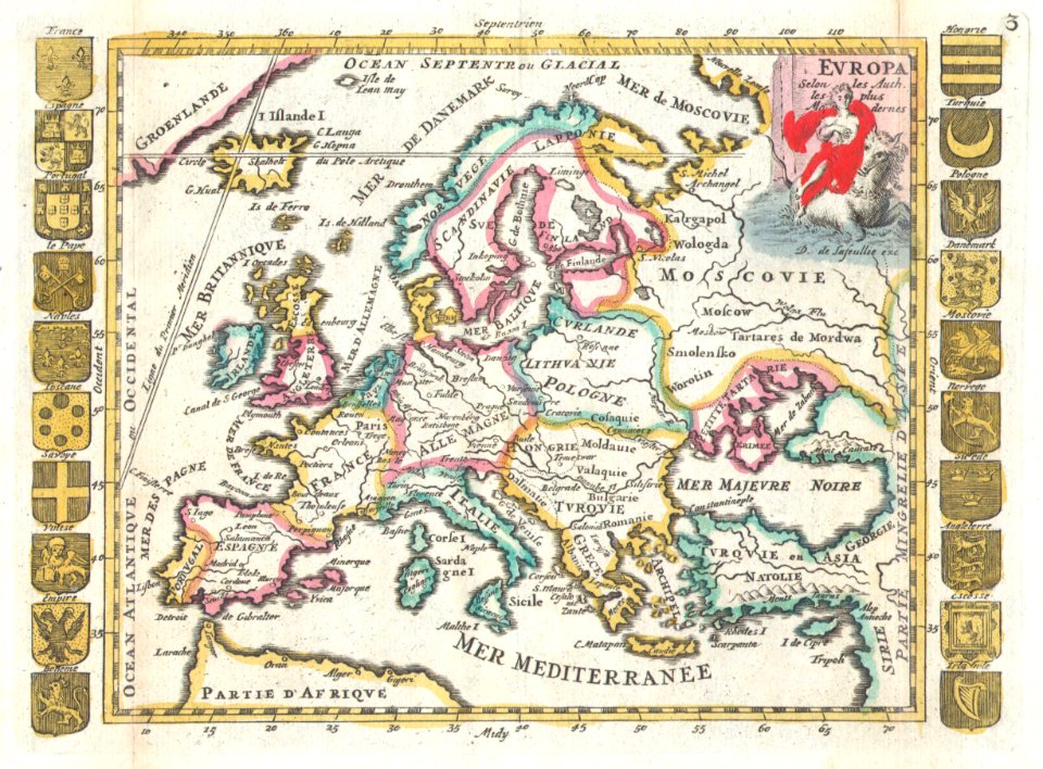
1706 maps of europe
old maps of new england
1684
chromolithographs in the rijksmuseum amsterdam
maps in the rijksmuseum amsterdam
16th-century maps of lisbon
1580s maps of portugal
media from atlas of mutual heritage on dutch east india company
1665
pacific ocean in art
ships on maps
fictional galaxies
star wars maps
maps in the library of congress
1752 maps of north america
imperial war museum first world war artwork
francis dodd
maps of the west-indische compagnie
1747 maps of africa
french-language maps
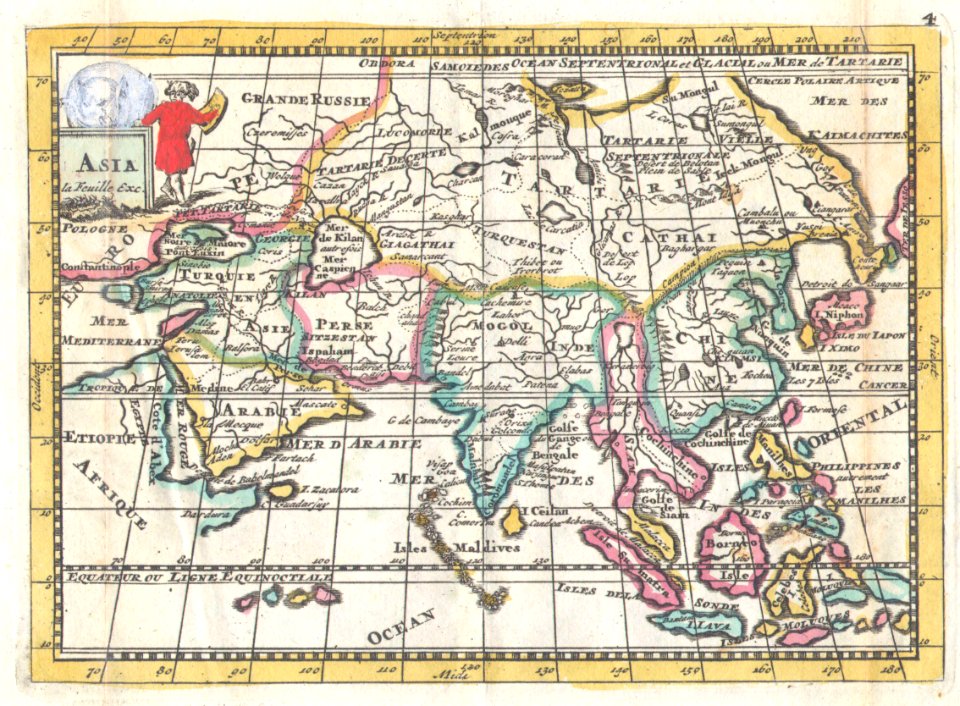
1706 maps of asia
lawrence h. slaughter collection of english maps, charts, globes, books and atlases
nypl lionel pincus and princess firyal map division
18th-century maps of the indian ocean
guillaume dheulland
daniel de la feuille
1706 maps of italy
lawrence h. slaughter collection of english maps, charts, globes, books and atlases
atlas novus (blaeu)
lawrence h. slaughter collection of english maps, charts, globes, books and atlases
atlas novus (blaeu)
lawrence h. slaughter collection of english maps, charts, globes, books and atlases
atlas novus (blaeu)
1650s maps of the atlantic ocean
joan blaeu
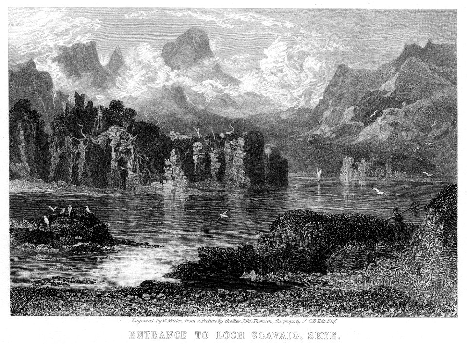
engravings by william miller
loch scavaig
west-indische compagnie
image restoration
august kneisel
east prussia
maps of the dutch east india company - south africa
casparus lootsman
french-language maps
daniel de la feuille
maps in the rijksmuseum amsterdam
johannes leupenius
cartouche (cartography)
nicholas tindal
general charte der in den herzoglich bremen - und verdenschen aemtern und gerichten ottersberg, osterholtz, lilienthal, bremervörde, rotenburg und achim belegenen mööre, und der seit 1750 darin... - btv1b531196435
bibliothèque nationale de france
general charte der in den herzoglich bremen - und verdenschen aemtern und gerichten ottersberg, osterholtz, lilienthal, bremervörde, rotenburg und achim belegenen mööre, und der seit 1750 darin... - btv1b531196435
bibliothèque nationale de france
general charte der in den herzoglich bremen - und verdenschen aemtern und gerichten ottersberg, osterholtz, lilienthal, bremervörde, rotenburg und achim belegenen mööre, und der seit 1750 darin... - btv1b531196435
bibliothèque nationale de france
general charte der in den herzoglich bremen - und verdenschen aemtern und gerichten ottersberg, osterholtz, lilienthal, bremervörde, rotenburg und achim belegenen mööre, und der seit 1750 darin... - btv1b531196435
bibliothèque nationale de france
ismailïa. a narrative of the expedition to central africa for the suppression of the slave trade (1874)
diagrams, plots and charts from the british library mechanical curator collection
jacob le maire
1635 maps
media contributed by university of illinois urbana-champaign university library
tranquillo mollo
301 - 400 of 485
Next page
/ 5